biscayne_oli_2016056_tn.jpg
0 x 0
JPEG
0 x 0
JPEG
720 x 480
JPEG
5000 x 5000
5 MB - JPEG
5000 x 5000
43 MB - GeoTIFF
720 x 480
JPEG
720 x 538
JPEG

10000 x 18000
21 MB - JPEG

10000 x 18000
180 MB - GeoTIFF
720 x 480
JPEG
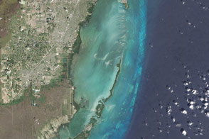
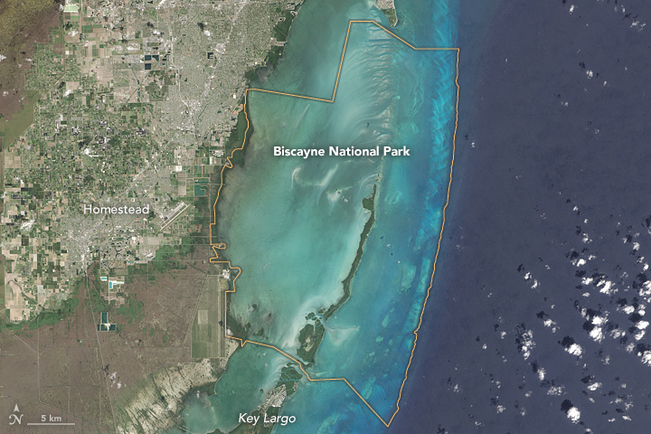
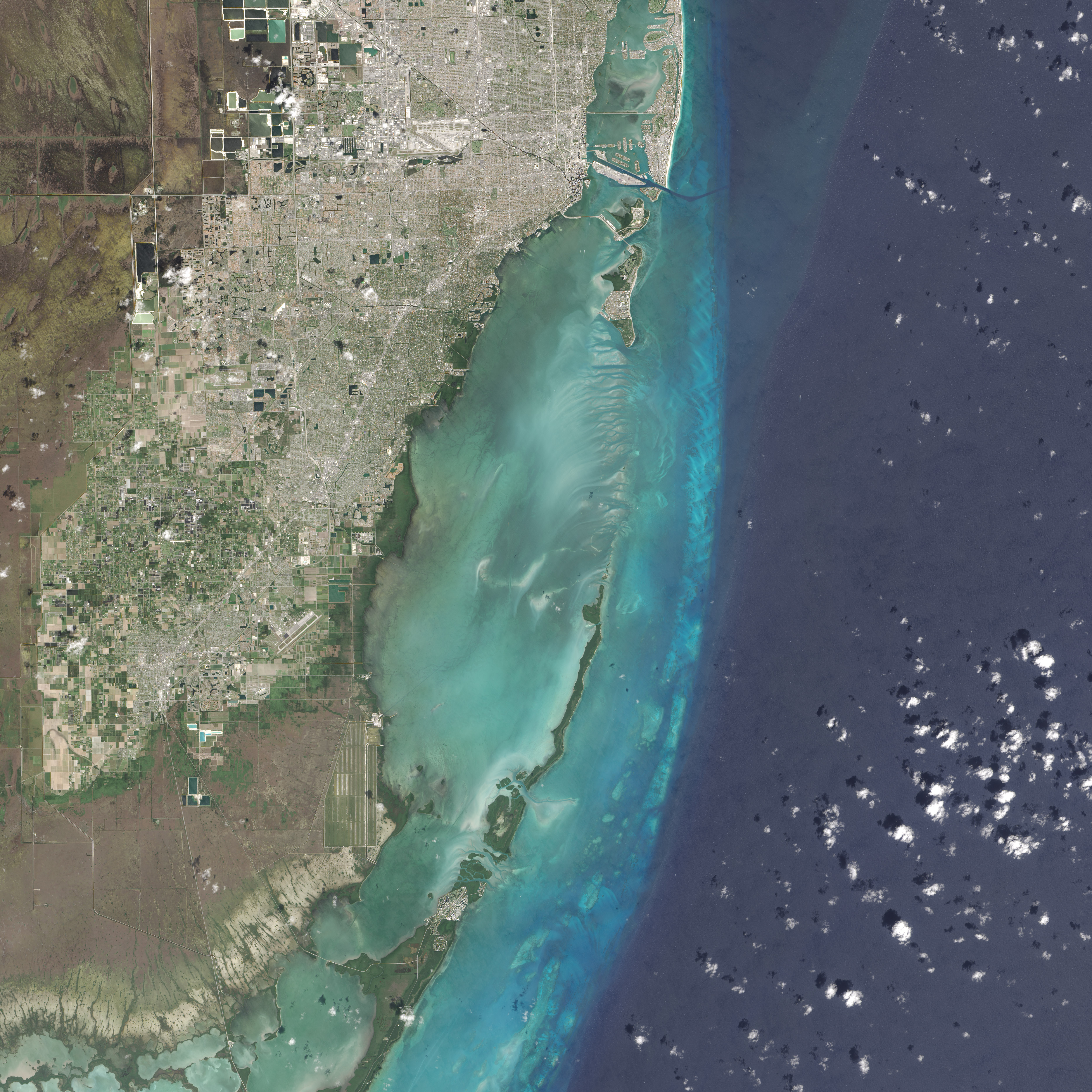
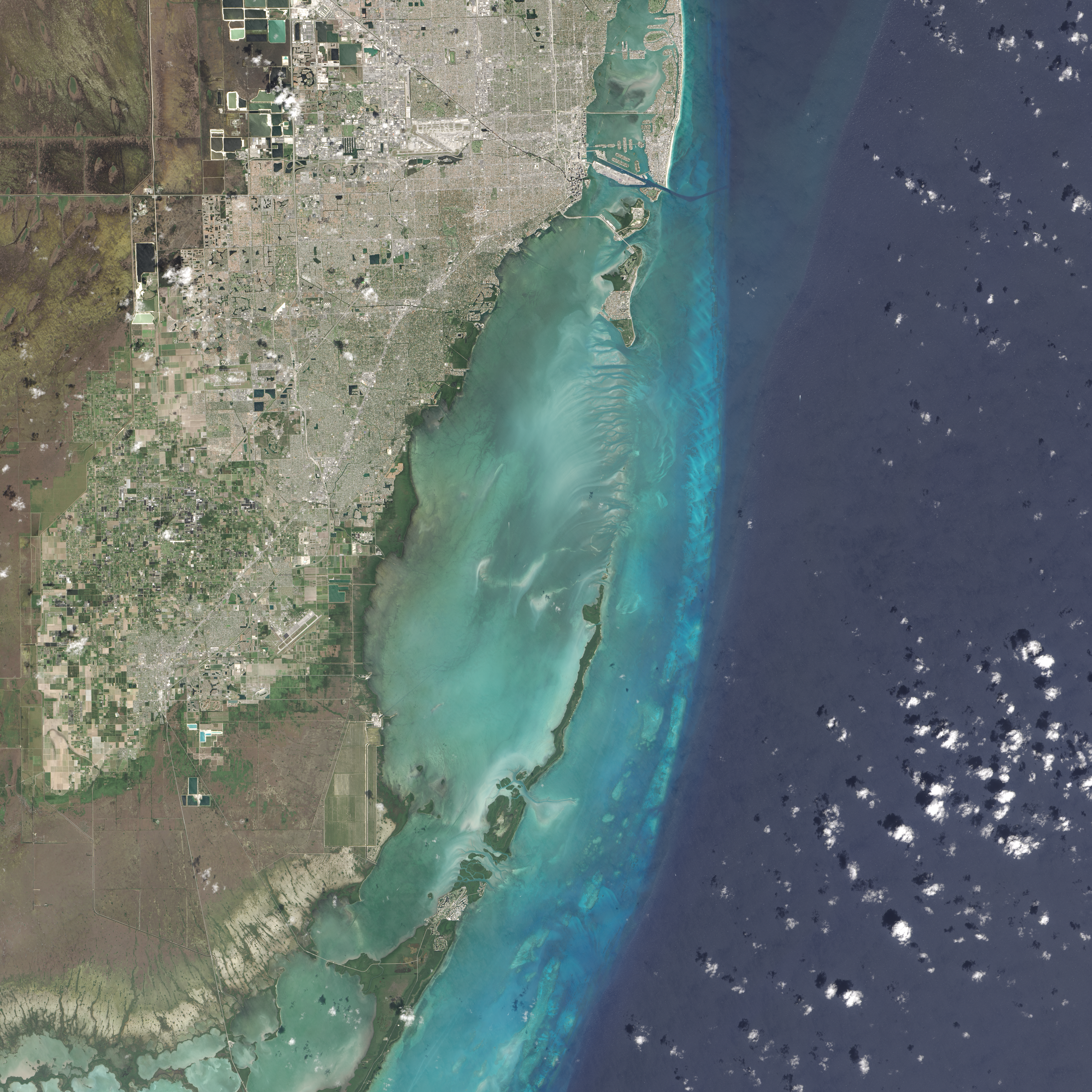
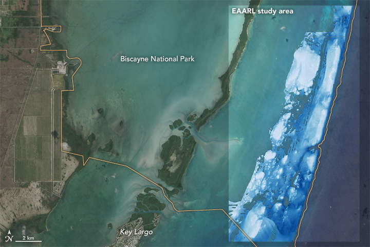
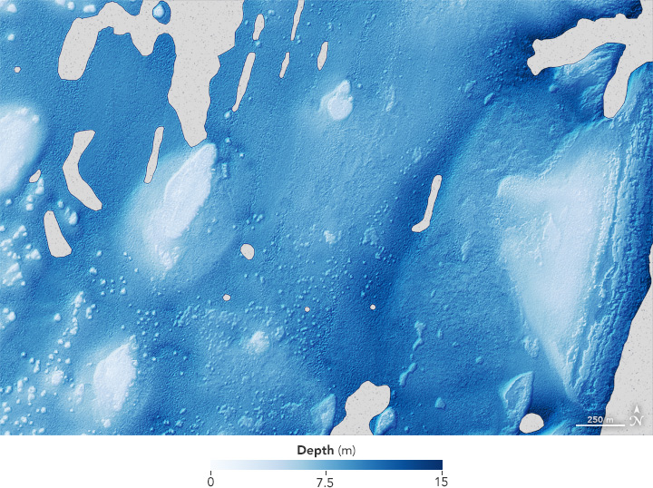
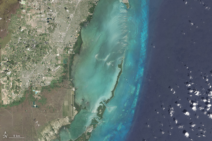
Biscayne National Park
Maps of the underwater topography reveal reefs and sandbars within the largest marine park in the U.S. National Park System.
This image originally appeared in the NASA Earth Observatory story Biscayne National Park.
NASA Earth Observatory images by Jesse Allen, using Landsat data from the U.S. Geological Survey and Experimental Advanced Airborne Research Lidar (EAARL) data provided courtesy of the Wallops Flight Facility. Caption by Kathryn Hansen.
Published May 1, 2016
Data acquired February 25, 2016
- Source:
- Landsat 8 > OLI
- Collection:
- U.S. National Parks