greeley_oli_2013260_tn.jpg
0 x 0
JPEG
0 x 0
JPEG
720 x 480
JPEG
4000 x 4000
4 MB - JPEG

56 MB - GeoTIFF
720 x 480
JPEG
4000 x 4000
3 MB - JPEG

177 MB - GeoTIFF

172 KB - KML/KMZ
720 x 480
JPEG
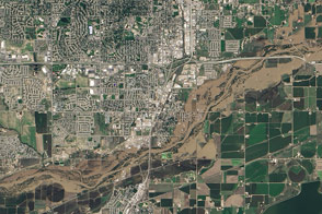
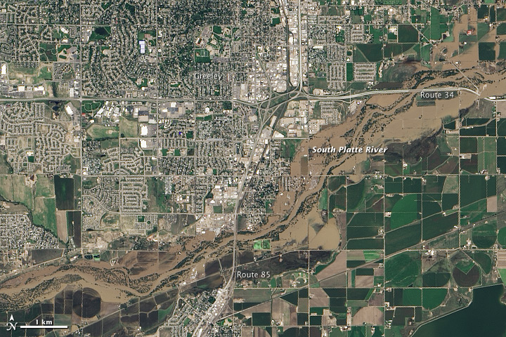
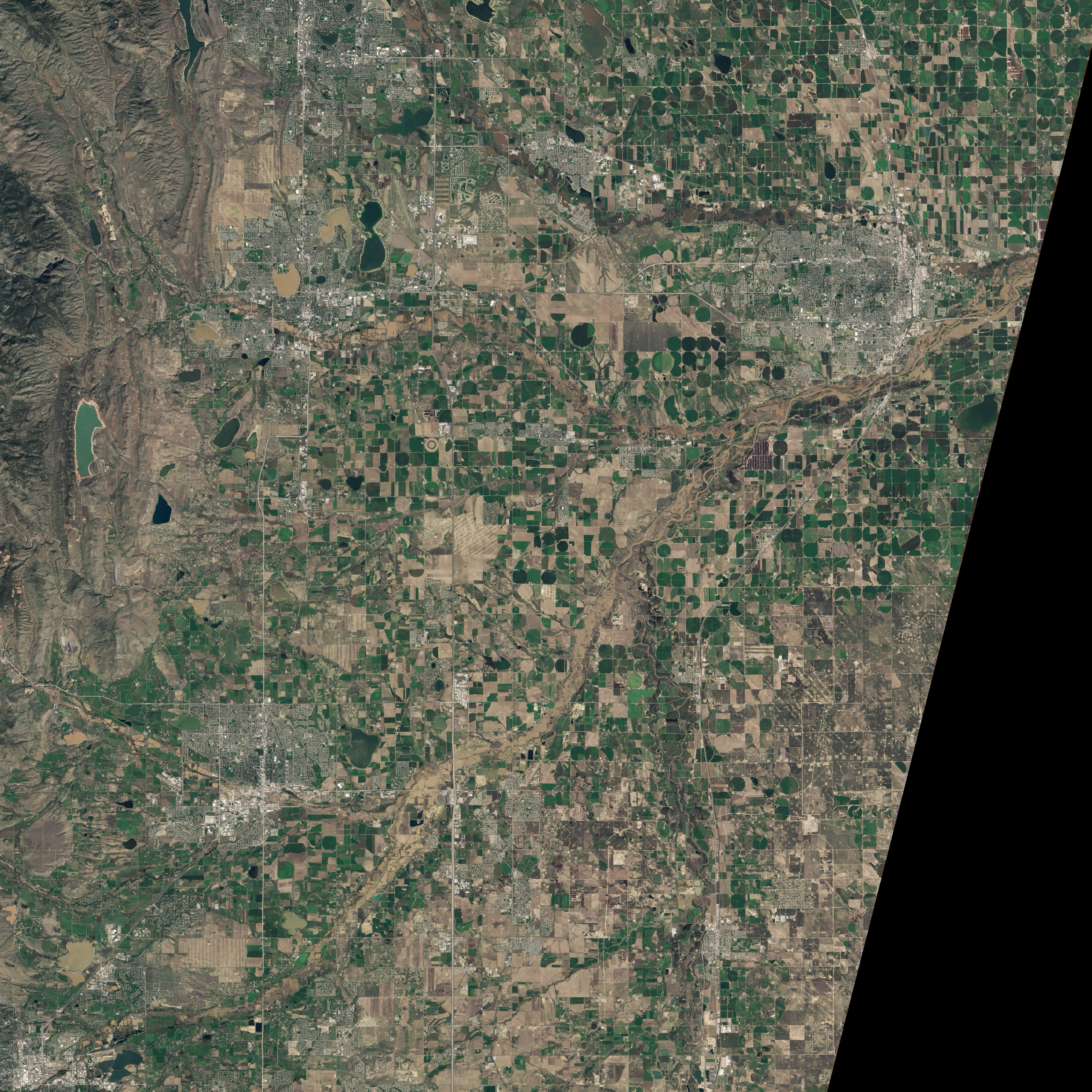
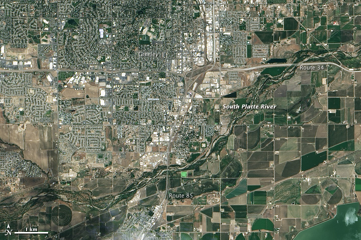
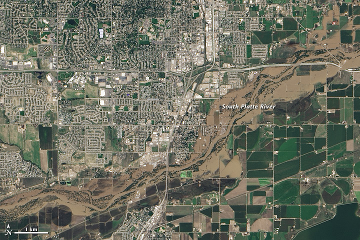
Floods in Colorado
The flooded South Platte River covered roads and farmland when Landsat 8 acquired this image on September 17.
This image originally appeared in the NASA Earth Observatory story Floods in Colorado.
NASA Earth Observatory image by Jesse Allen and Robert Simmon, using Landsat data from the U.S. Geological Survey. Caption by Holli Riebeek.
Published September 20, 2013
Data acquired September 17, 2013
- Source:
- Landsat 8 > OLI