Data acquired March 29, 2000
600 x 472
71 KB - JPEG
0 x 0
JPEG
600 x 472
71 KB - JPEG
1715 x 1350
927 KB - JPEG

1715 x 1350
7 MB - TIFF
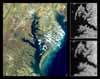
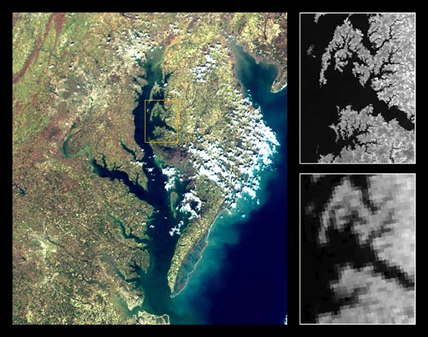
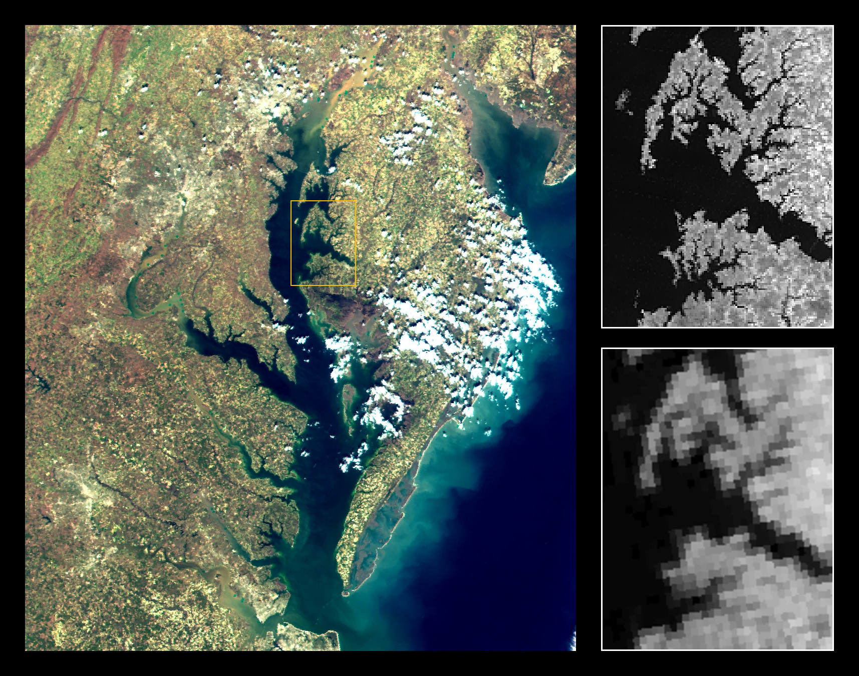
Chesapeake Bay and Delmarva Peninsula Montage with MODIS v. AVHRR Band 2 Resolution Comparison
MODIS bands at 645nm, 555nm, and 469nm (displayed as red, green, and blue) were used to make this quasi-true-color image of the Chesapeake Bay, USA, observed on March 26, 2000 (left). The Land Surface Reflectance product was used to produce this image corrected for atmospheric effects. The MODIS 250m-resolution multi-spectral observations clearly discriminate different types of vegetation and urban areas in this image. The subsets show MODIS near-infrared band 2 (859nm) at 250m resolution (top right) and the corresponding NOAA14 AVHRR 1km band 2 (bottom right) over the Choptank River and the Cambridge area, in the Delmarva Peninsula. The improved spatial resolution of MODIS data over the heritage AVHRR data is apparent.
(MODIS Data Type: MODIS-PFM; MODIS Band Combination: 1, 4, 3)
Jacques Descloitres, MODIS Land Science Team
Published April 28, 2000
Data acquired March 29, 2000
- Source:
- Terra > MODIS