Data acquired May 2, 2011
2411 x 2411
4 MB - JPEG
0 x 0
JPEG
720 x 720
JPEG

2411 x 2411
4 MB - JPEG

2411 x 2411
13 MB - GeoTIFF
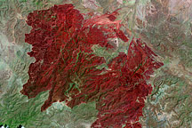
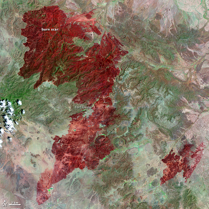
Rockhouse Fire in Texas
This Landsat image, taken on May 2, 2011, shows all 314,444 acres burned in the Rockhouse Fire in southwestern Texas.
This image originally appeared in the NASA Earth Observatory story Rockhouse Fire in Texas.
NASA Earth Observatory image created by Jesse Allen and Robert Simmon, using Landsat data provided by the United States Geological Survey. Caption by Holli Riebeek.
Published May 5, 2011
Data acquired May 2, 2011
- Source:
- Landsat 5 > TM