NIDEM_roebuck_th.jpg
0 x 0
JPEG
0 x 0
JPEG
720 x 480
GIF
800 x 591
1 MB Bytes - GIF
720 x 453
GIF

800 x 503
1 MB Bytes - GIF

720 x 480
GIF
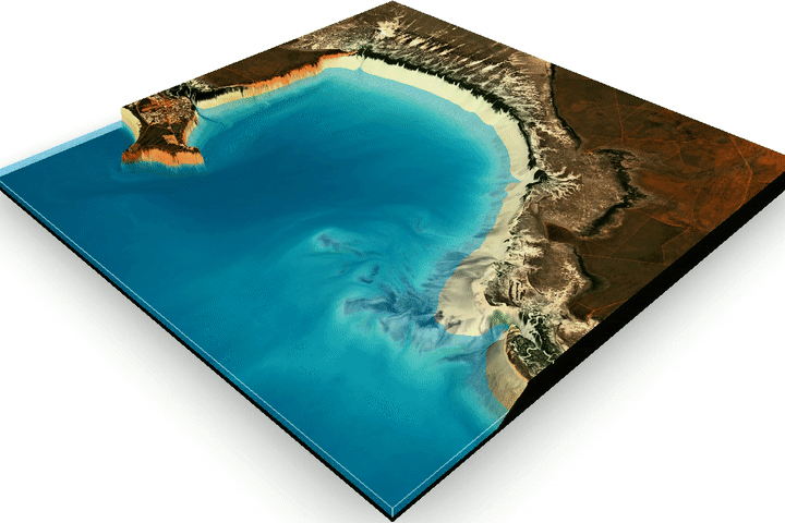
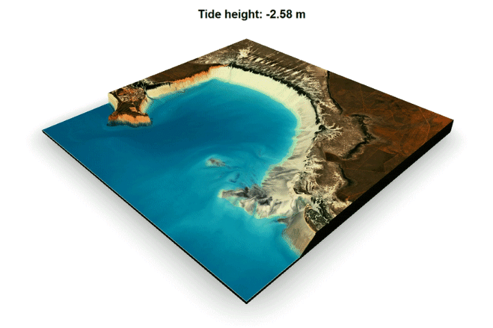
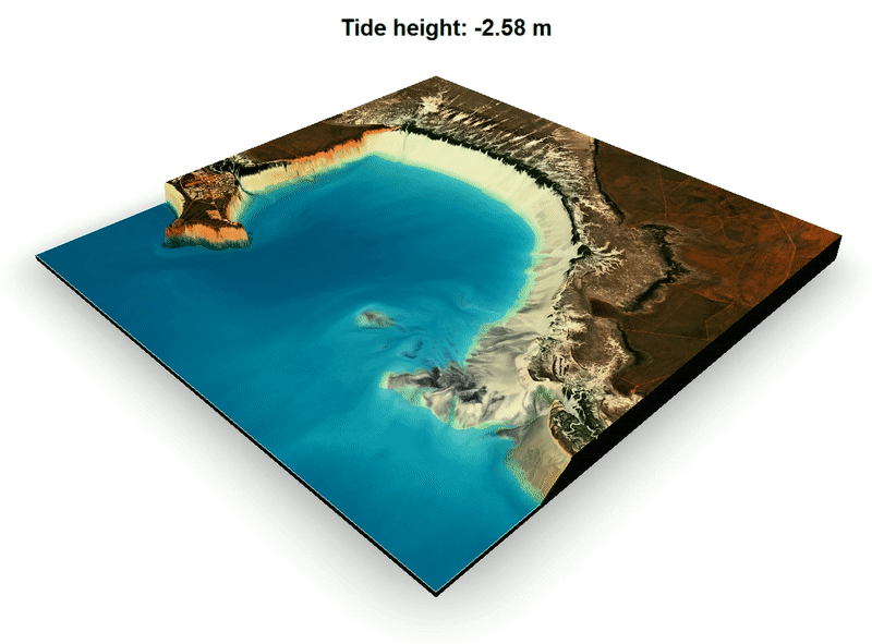
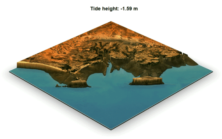
Mapping the Land Between the Tides
Harnessing 30 years of Landsat data, researchers have created the first three-dimensional model of Australia’s entire coastline.
This image originally appeared in the NASA Earth Observatory story Mapping the Land Between the Tides.
Images by Robbi Bishop-Taylor/Geoscience Australia, using Landsat data from the U.S. Geological Survey and the National Intertidal Digital Elevation Model (NIDEM). Story by Laura Rocchio, NASA Landsat Science Outreach Team, with Mike Carlowicz.
Published July 2, 2019
Data acquired 1988 - 2018
- Collection:
- Science in Action