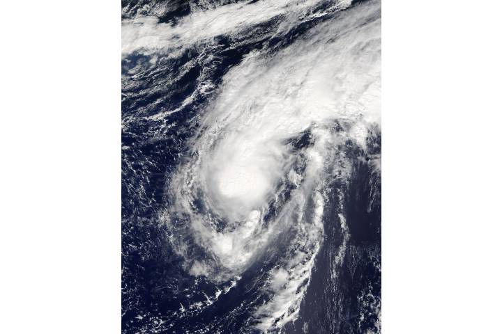
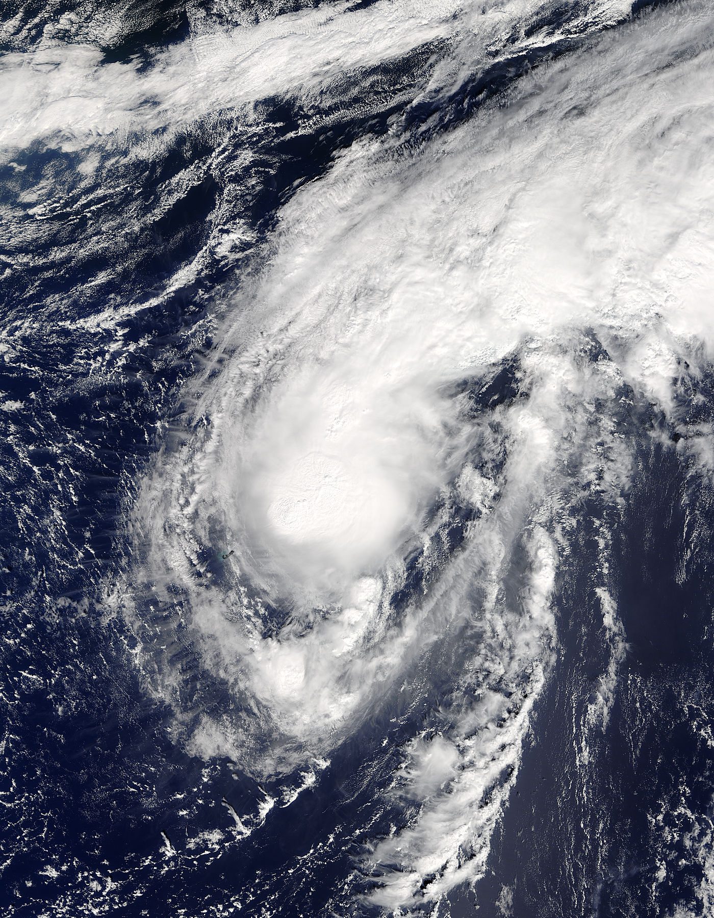


Tropical Storm Karl (12L) in the north Atlantic
Tropical Storm Karl (12L) in the north Atlantic
region: At
sat: Terra
projection: Plate Carree
projection center lon: -62.0000
projection center lat: +34.0000
image center lon: -62
image center lat: +34
standard parallel: +35.0000
UL lon: -69.6837
UL lat: +42.0938
UR lon: -54.3136
UR lat: +42.0938
LR lon: -54.3136
LR lat: +25.9061
LL lon: -69.6837
LL lat: +25.9061
UL easting (km): -699.8750
UL northing (km): +4680.6250
x scale factor: +0.8191520442889918
ellipsoid: WGS84
Contact: Jeff Schmaltz
L2 granules: T162681445 T162681450
Images by the LANCE/EOSDIS Rapid Response team.
Published September 24, 2016
Data acquired September 24, 2016
- Source:
- Terra > MODIS
- Collection:
- Rapid Response Gallery